Resources
Definition of terms
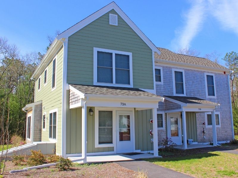
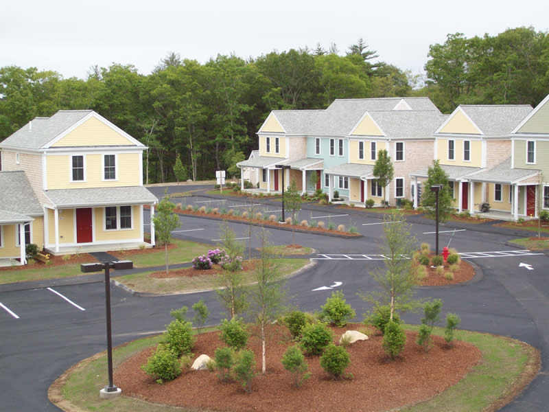
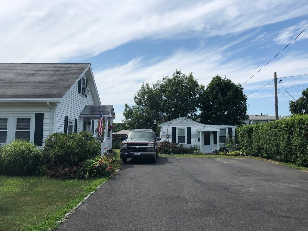
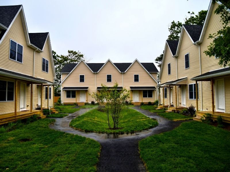
Affordable and affordable housing: Capital “A” Affordable housing refers to deed-restricted housing available to residents based on income criteria. Lower-case “a” affordable housing refers to housing that is naturally affordable or attainable for local residents. These units are market-rate but priced at a level that local residents can afford. Note that many of our local workers with full-time jobs qualify to live in low-income Affordable housing. All these images show examples of Cape Cod Affordable housing.
BioMap2 Core Habitat: A Massachusetts state designation that identifies key areas to ensure the long-term persistence of species of conservation concern, exemplary natural communities, and intact ecosystems across the Commonwealth. Learn more here.
BioMap2 Critical Natural Landscape: Critical Natural Landscape is a Massachusetts state designation that identifies larger landscape areas that are better able to support ecological processes, disturbances, and wide-ranging species. Learn more here.
Community Activity Center: The Cape Cod Regional Policy Plan’s designation for areas with a concentration of business activity, community activity, and a compact built environment. Buildings are generally smaller in scale and connected by a network of streets, ways or alleys.
Community Activity Centers are more walkable and densely developed than other Placetypes and often contain concentrations of historic buildings that contribute to the Cape’s unique character. Mixed commercial and residential uses make it possible to live and work within the same walking distance. Smaller parks provide greenspace and recreation within Community Activity Centers, with ample access to transit, bike connections and sidewalks. The vision for these areas is to accommodate mixed-use and multifamily residential development in a walkable, vibrant area, preserve historic buildings, and to provide diverse services, shopping, recreation, civic spaces, housing, and job opportunities at a scale of growth and development desired by the community, with adequate infrastructure and pedestrian amenities to support development.
FEMA FIRMS A and V Zones: According to the Federal Emergency Management Agency (FEMA) and the National Flood Insurance Program, A and V zones are locations considered to be within a Special Flood Hazard Area. V zones are the most hazardous of the Special Flood Hazard Areas.
Moderate-Density Housing: For purposes of this project, we define moderate density housing as anything more than one dwelling allowed per half-acre. The benefits of building smaller homes, closer together rather than the traditional Cape Cod single-family home on a large lot are: these homes cost less and make less of an environmental impact. There are many ways in which we can integrate moderate-density housing into our existing community contexts, from a small accessory dwelling unit (ADU) built into a single-family home, to top-of-shop apartments, to townhouses, to cottage courts, to apartment complexes with 30-50 units. Click here for a printable PDF of these moderate-density housing examples.
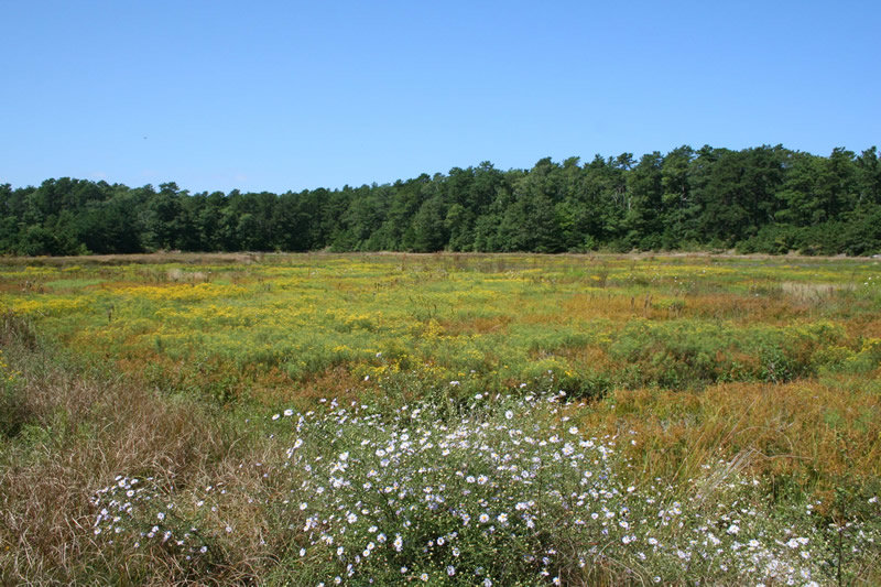
Natural Areas Placetype: The 2018 Cape Cod Regional Policy Plan’s designation for the region’s least developed and most sensitive areas. These identified areas comprise natural shoreline, barrier beaches, banks, and dunes, areas with highest habitat value and natural landscapes, undeveloped lands in wellhead protection areas, buffers to wetlands and vernal pools, and undeveloped areas subject to flooding. The vision for Natural Areas is to minimize adverse development impacts to sensitive resource areas, to preserve lands that define Cape Cod’s natural landscape and contribute to its scenic character, and to improve the Cape’s resilience to severe storms and the effects of climate change. Natural Areas Placetypes are lands with the highest significance for resource protection or conservation and are appropriate for permanent protection through acquisition and conservation restriction or for transfer of development rights to less vulnerable areas.
NHESP Estimated Habitat: The state’s Natural Heritage and Endangered Species Program Estimated Habitat is a sub-set of Priority Habitat (see below). It is based on the geographical extent of habitat of state-listed rare wetlands wildlife and is codified under the Wetlands Protection Act, which does not protect plants. State-listed wetland wildlife species are protected under the Massachusetts Endangered Species Act as well as the Wetlands Protection Act.

NHESP Priority Habitat: The state’s Natural Heritage and Endangered Species Program Priority Habitat is based on the known geographical extent of habitat for all state-listed rare species, both plants and animals, and is codified under the Massachusetts Endangered Species Act.
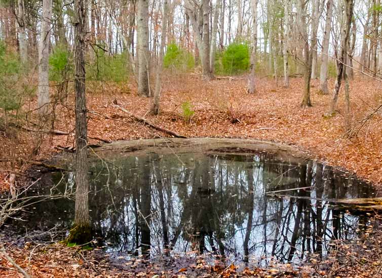
Vernal Pool: Vernal pools, also known as ephemeral pools, autumnal pools, and temporary woodland ponds, typically fill with water in the autumn or winter due to rainfall and rising groundwater and remain ponded through the spring and into summer. Vernal pools dry completely by the middle or end of summer each year, or at least every few years. Occasional drying prevents fish from establishing permanent populations, which is critical to the reproductive success of many amphibian and invertebrate species that rely on breeding habitats free of fish predators.
Vernal Pool Buffer: The upland buffer of a vernal pool is the area established to protect the water quality of the vernal pool while also providing terrestrial habitat for amphibian species such as wood frogs and salamanders that breed in the pools in the spring. This APCC-HAC project has adopted the Cape Cod Commission’s recommended 350-ft. buffer zone around vernal pools.
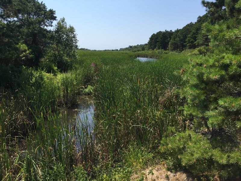
Wetlands: Coastal wetlands are directly adjacent to the ocean and include beaches, salt marshes, dunes, coastal banks, rocky intertidal shores, and barrier beaches. Inland wetlands are areas where water is at or just below the surface of the ground. Although these wetlands can appear dry during some seasons, they contain enough water to support certain plants and soils. Inland wetlands include marshes, wet meadows, bogs, and swamps.
Wetland Buffer: A wetland buffer is the area of land within 100 feet of coastal banks, inland banks, freshwater wetlands, coastal wetlands, tidal flats, beaches, dunes, marshes, and swamps.
Zone II Wellhead Protection Area: The area of an aquifer that contributes water to a drinking water well under the most severe pumping and recharge conditions.
ADDITIONAL RESOURCES
The Cape’s Natural Resources – What’s at Stake?
Missing Middle Case Study: Housing on Cape Cod
Housing on Cape Cod: The High Cost of Doing Nothing
Regional Policy Plan, Cape Cod Commission
Section 208 Area Wide Water Quality Management Plan
Cape Cod Guide to Town Center Revitalization (APCC 2006)