About
The Grow Smart Cape Cod maps are a planning tool meant to establish a shared set of data that can support effective collaboration among towns and advocates for housing and natural resource protection as we set policies to support a sustainable future. We must do better at making informed and timely decisions about how to address these critical issues:
Degrading water quality in the Cape’s coastal waters and freshwater ponds due to reliance on Title 5 septic systems and lack of adequate wastewater treatment.
Sprawling, inefficient development that drives up the cost of housing and contributes to fragmentation and loss of high priority natural resource areas, including sensitive habitats, drinking water supply areas, wetlands and wetland buffers.
Lack of housing inventory and diversity, especially moderate density housing: smaller homes built closer together that are more affordable for low-income to moderate- income households in every town on Cape Cod.
We anticipate the maps will be useful to a number of audiences:
- Municipal staff and boards
- Housing advocates
- Land conservation advocates
- Developers
- Citizen participants in town meetings and discussions
What are the assumptions of this project?
- Properly managing wastewater is crucial to addressing our water quality issues if we hope to have sustainable development of affordable housing and protect the Cape’s natural resources and quality of life.
- There is a need to change the status quo for current development patterns, which have resulted in 82 percent of our housing inventory being single-family homes mostly priced out of reach for local residents. This development pattern promotes sprawl, reduces the Cape’s existing habitats and green spaces, degrades the Cape’s natural resources, increases the cost of housing, increases the area and costs required for sewering, and drives a wedge between the environmental and housing communities on land use choices.
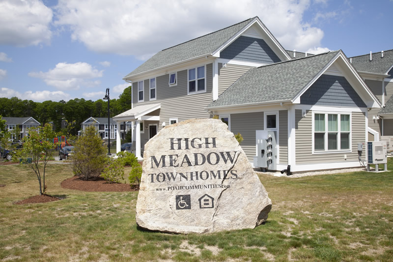
- There is a need to increase year-round housing through affordable moderate-density development in priority housing areas.
- Sewering is the best method for addressing the Cape’s wastewater problem and providing the most appropriate areas for increased housing density.
- Guiding moderate-density housing to locations supported by wastewater infrastructure and other community services creates a better “bang for the buck” in municipal investments and also relieves development pressure in the Cape’s remaining sensitive natural resource areas.
- In identified priority housing areas, new affordable moderate-density housing could be deed-restricted Affordable or market-rate.
- In identified priority housing areas, housing may take many forms depending on neighborhood context, including community-scale infill development, accessory dwelling units (ADUs), small homeownership units, or apartment buildings.
- Continued protection of open space in priority natural resource areas is critical for preserving Cape Cod’s environmental health, our blue economy, and the quality of life that is essential for the sustainability of our communities.
What are the hopeful outcomes?
- Protect high priority natural resources through land acquisitions, conservation restrictions, zoning and regulatory changes, and the adoption of appropriate land use policies.
- Focus the limited amount of available funding for open space preservation and affordable housing production on projects in identified priority natural resource areas and priority housing areas, respectively.
- For housing production, place the greatest emphasis on targeting locations supported by wastewater infrastructure, particularly within designated activity centers.
- Create greater public understanding and acceptance about areas within towns that are most appropriate for the protection of natural resources and areas that are most appropriate for accommodating moderate-density affordable housing.
Lead Organizations
The Association to Preserve Cape Cod is a 501(c)(3) organization that addresses environmental threats to our communities and advocates for solutions. Its landmark achievements have resulted in cleaner drinking water, preserved open spaces and restored natural habitats on Cape Cod. It also trains citizen scientists in environmental monitoring, helping the public connect with and understand the Cape’s ecology, and organizes volunteer initiatives such as the APCC cyanobacteria monitoring program and the Cape’s springtime herring counting program. APCC works in every Cape town, and at every level, from helping to organize neighborhood volunteer groups to providing towns with technical assistance on natural resource improvement projects. It has worked closely with elected officials and policy makers from our region and beyond.
Housing Assistance Corporation is a regional non-profit housing agency founded in 1974 as a pilot project to test the use of rental vouchers to help secure housing for year-round workers on Cape Cod. Since that time, programs have expanded to assist more than 185,000 low- and middle-income households on Cape Cod, Nantucket and Martha’s Vineyard. Each year, the organization assists thousands of households in Homelessness Prevention, Housing Stabilization, and Empowerment. As the regional Housing Consumer Education Centers, HAC offers tenants, landlords, prospective buyers, and homeowners access to information designed to maximize housing stability. HAC also develops housing for low- and middle-income households, and advocates for zoning and policy changes that will create more housing diversity and affordability across Cape Cod.
Advisory Board
We’d like to thank the following members who served as an advisory board on this project:
Ryan Bennett, Barnstable Housing Coordinator, former Brewster Town Planner
Ryan Castle, Executive Director, Cape Cod Islands Association of REALTORS®
Rick Fenuccio, Principal, Catalyst Architecture/Interiors
Tony Green, Managing Partner, The Pinehills
Heather Harper, Sandwich Assistant Town Administrator (former Cape Cod Commission staff)
Brad Hinote, Orleans Town Assessor
Elizabeth Jenkins, AICP, Town of Barnstable Director of Planning Development
Paul Lagg, Eastham Town Planner
Heather McElroy, Cape Cod Commission Natural Resources Program Manager
Hal Minis, Brewster Conservation Trust
Karl von Hone, Director, Yarmouth Division of Natural Resources
Jessica Whritenour, Executive Director, The 300 Committee Land Trust
Funding for the project was provided by Barnstable County and its Economic Development Council License Plate Grant Program through the Cape Cod Commission. Special thanks to the Cape Cod Commission for the foundational work in its 2018 Regional Policy Plan, and for making its source data and GIS expertise available to this project.
Special thanks to the Cape Cod Commission for its GIS assistance with the project.